I was in San Francisco for 24 hours last week and had one hour free time so they took me to Chaat Cafe, an Indian Restaurant on 3rd and Folsom next to the Mosconi Center. Highly recommend if you are in a hurry or not. 
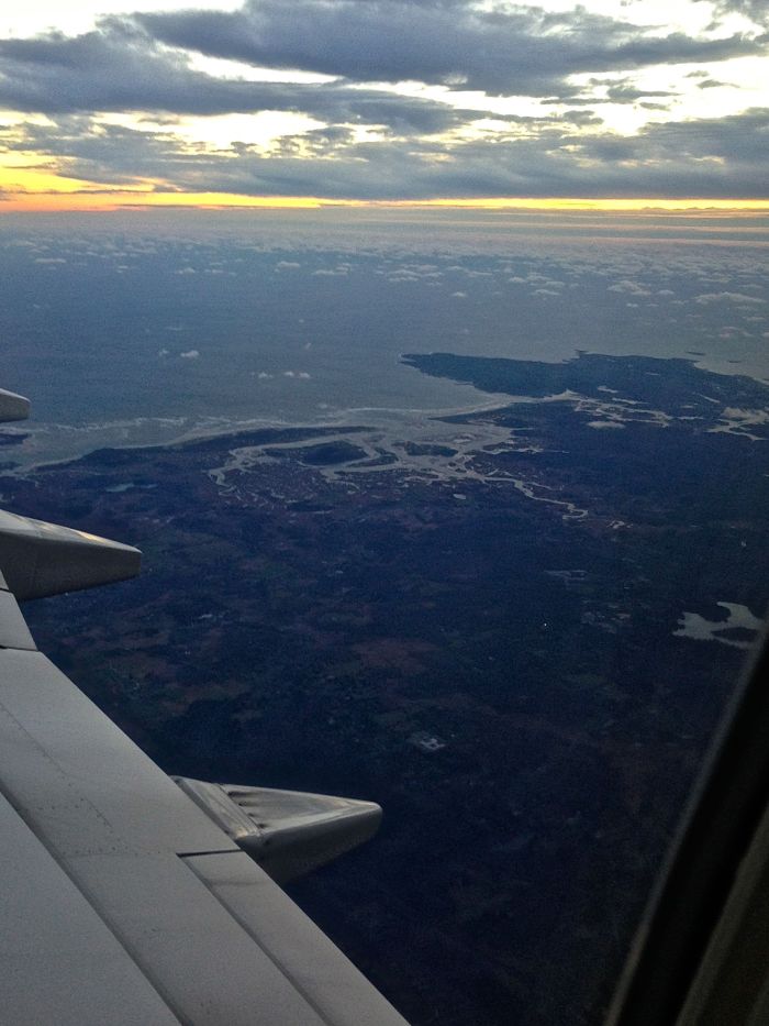
6AM flight out of Boston and I had the starboard view of Cape Ann as we turned west. From left to right, the Essex River complete with Cross Island just inland which is the turn around for the Essex River Race. Then Annisquam River cutting off Cape Ann from the mainland, Folly Cove, Halibut Point, Hoop Pole Cove, Andrews Point Sandy Bay, Straightsmouth Island and you can just pick up Thacher and Milk Islands. A tiny bit of Salt Island on the photo’s edge.
Packed so light I forgot a GMG sticker to represent!

cool shot !
LikeLike
This is beautiful….thanks for sharing – miss you Gloucester!
LikeLike
Great shot. That’s me waiving at you from the west side of the Annisquam!
LikeLike
Believe it or not, Gloucester Island was nearly treeless by the early 20th century. I have photos of Dogtown from that period that show nothing larger than a bush. Where’s the trees go? My theory is they were used initially for boat building, then house building, and heat. Some of the land was farmed, and was cleared for growing and grazing. Flying over the island now, or hiking in Dogtown, it’s a forested jungle. Mother Nature’s work.
LikeLike